Old maps of Sëlva - Wolkenstein - Selva di Val Gardena
Discover the past of Sëlva - Wolkenstein - Selva di Val Gardena on historical maps
Browse the old maps


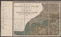
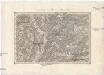
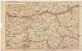
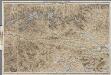
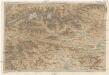
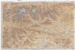
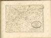
Maps of Sëlva - Wolkenstein - Selva di Val Gardena
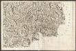
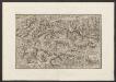
Maps of Sëlva - Wolkenstein - Selva di Val Gardena