Maps of Metropolitan France

Nouvelle carte de France routière et postale
1 : 2500000 [par] Hocquart jeune Paris : Audin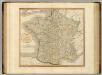
France.
1 : 2250000 Cary, John, ca. 1754-1835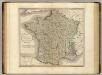
France.
1 : 2250000 Cary, John, ca. 1754-1835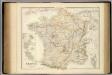
France And Its Principal Foreign Possessions.
1 : 2400000 Fullarton, A. & Co.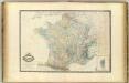
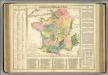
France.
1 : 2250000 Garnier, F. A., 1803-1863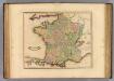
France, provinces.
1 : 2900000 Lizars, Daniel
France.
1 : 5000000 Arrowsmith, Aaron; Lewis, Samuel
France.
1 : 5000000 Arrowsmith, Aaron; Lewis, Samuel
France (outline)
1 : 5000000 Patteson, Edward
France.
1 : 5000000 Patteson, Edward
France.
1 : 3600000 Lavoisne, M.
Le royaume de France et les conquetes de Louis de Grand
1 : 3100000 Alžír (Alžírsko) Steinberger, Johann Christoph Wolf, Jeremias Ieremias Wolf
Le royaume de France et les conquetes de Louis de Grand
1 : 3100000 Francie Inselin, Charles
Les routes exactes des postes du Royaume de France
1 : 2600000 Aug. Vindel. : Matth. Seutter excud
France relief du sol
Vidal de La Blache, Paul
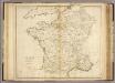
France, departments.
1 : 4500000 Tanner, Henry S.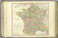
France.
1 : 1950000 Faden, William, 1750?-1836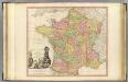
France.
1 : 1950000 Faden, William, 1750?-1836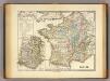
Gallia.
1 : 3900000 Menke, Th.
La France
1 Karte : Kupferdruck ; 42 x 46 cm Anville; Delahaye chez l'auteur aux galeries du Louvre
Carte des postes de France
1 Karte : Kupferdruck ; 63 x 63 cm Jaillot; Aveline; Bourgoin chez le Sr. Jaillot
La France ecclesiastique
1 Karte auf 4 Blättern : Kupferdruck ; 78 x 82 cm Jaillot chez l'auteur sur le quay et a côté des g.ds Augustins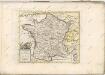
Gallia.
1 : 2400000 Playfair, Principal
Gallia
1 : 3800000 Alpy francouzské Spruner, Karl von Justus Perthes
[Frankreich]
Francie
Nieuwe kaart van Vrankrijk, volgens de nieuwste waarnemingen van de Koningl. Parijsche Academie
1 : 5750000 [S.l.] : [s.n.]
Carte physique et hydrographique de la France
1 Karte : Kupferdruck ; 49 x 54 cm Dupain-Triel chés l'auteur rue des Noyers près St. Yves


