Maps of Garfield County

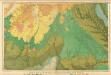
Wagon Box Mesa
1 : 62500
Wagon Box Mesa
1 : 62500
Wagon Box Mesa
1 : 24000
Wagon Box Mesa
1 : 24000
Circle Cliffs 1 SE
1 : 24000
Pioneer Mesa
1 : 24000
Pioneer Mesa
1 : 24000
Circle Cliffs 1 SW
1 : 24000
Bitter Creek Divide
1 : 24000
Bitter Creek Divide
1 : 24000
Circle Cliffs 1 NE
1 : 24000
Lamp Stand
1 : 24000
Lamp Stand
1 : 24000
Lamp Stand
1 : 24000
Circle Cliffs 1 NW
1 : 24000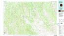
Escalante
1 : 100000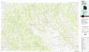
Escalante
1 : 100000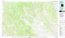
Escalante
1 : 100000
Escalante
1 : 250000
Escalante
1 : 250000
Escalante
1 : 250000
Escalante
1 : 250000
Escalante
1 : 250000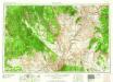
Escalante
1 : 250000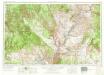
Escalante
1 : 250000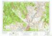
Escalante
1 : 250000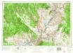
Escalante
1 : 250000
Escalante
1 : 250000
Escalante
1 : 250000