Maps of Freistadt
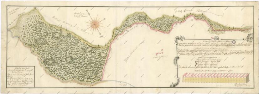
Mapa sporných hraničních území mezi panstvími Ruttenstein a Pertholz 1


III. vojenské mapování 4553
1 : 75000
Kaplice
1 : 75000 Freistadt (Rakousko : oblast) Vojenský zeměpisný ústav
Kaplitz und Freistadt
1 : 75000 Freistadt (Rakousko : oblast) K. u. k. Militärgeographisches Institut
Podrobná mapa Království českého
1 : 100000 Rožmberk nad Vltavou (Česko) Srp, Jan Jaroslav Bursík
Karte des Bezirkes Kaplitz
1 : 150000 Kaplice-oblast (Český Krumlov, Česko) A. Haase
Kaplitz und Freistadt.
from Spezialkarte der osterreichisch-ungarischen Monarchie.
Weitra und Zwettl (Nieder-Osterreich).
from Spezialkarte der osterreichisch-ungarischen Monarchie.
Generalkarte der Bezirkshauptmannschaft Kaplitz
1 : 220000 Kaplice-oblast (Český Krumlov, Česko) Wagner, Jan Eduard F. Kytka
Tertius Quadrans das Machland-Viertl
1 : 740000 Mollova mapová sbírka Fuhrmann, Mathias Märtin, Johann Heinrich Heyinger, Johann Ignaz
Tertius Quadrans das Machland-Viertl
1 : 740000 Mollova mapová sbírka Insprugger, Sebastianus Märtin, Johann Heinrich Schwendimann, Wolfgang
Germanisation de Vitorazsko
Vitorazsko (Česko a Rakousko) Kapras, Jan Hocke, Jan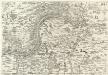
Archiducatus Austriae inferioris Geographica, et Nouiter Emendata Accuratissima Descriptio :
1 : 153333 Mollova mapová sbírka Vischer, Georg Matthaeus Hoffmann, Jakob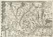
Archiducatus Austriae inferioris Geographica, et Nouiter Emendata Accuratissima Descriptio :
1 : 153333 Mollova mapová sbírka Vischer, Georg Matthaeus Hoffmann, Jakob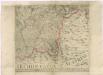
Müllerova mapa Čech
1 : 132000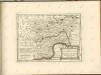

Südöstliches Böhmen
1 : 220000 Čechy západní (Česko) Wagner, Jan Eduard F. Kytka
Flussgebiet der Moldau und Maltsch bis Budweis
1 : 300000 Vltava-povodí (Česko) Babánek, František Schwihlik, F.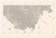
Mapa království Českého 9.

Circulus Budvicensis pars Regni Bohemiae
1 : 240000 Jihočeský kraj (Česko) Henatsch, Ant. Berka, Jan Peter Franza
Budějowský kraj w králowstwí českém
1 : 145000 České Budějovice-oblast (Česko) Loth, Johann Schleich, C. Friedrich Kretzschmar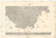
Nová Mapa království Českého
1 : 200000 Čechy jižní (Česko) Kotyška, Václav Hanf, Norbert Bursík & Kohout
Die Umgebungen von Linz
Linec-oblast (Rakousko) Streit, Friedrich Wilhelm Liechtenstern, Joseph Marx von
Charte vom Budweiser Kreise des Königreiches Böheim
1 : 250000 České Budějovice-oblast (Česko) Kreibich, František Jakub Jindřich Kettner, Carl C. W. Enders
Charte vom Budweiser Kreise des Königreiches Böheim
1 : 250000 České Budějovice-oblast (Česko) Kreibich, František Jakub Jindřich Kettner, Carl C. W. Enders
Circulus Budvicensis...

Charte des Mühl Viertels in dem Erzherzogthume Niederöstreich uiber der Enns
1 : 440000 Dolní Rakousko (Rakousko) Liechtenstern, Joseph Marx von Bendovsky, Thomas bey Joh. Schönberg
Budějowský kraj w Králowství českém
1 : 140000 České Budějovice-oblast (Česko) Loth, Johann Schönfelder, Franz von Friedrich Kretzschmar