Maps of Fort William
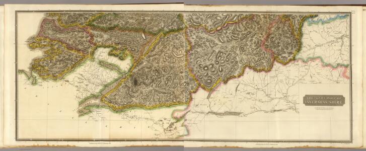
Composite: Inverness Shire S.
1 : 128000 Johnson, William, fl. 1806-1840
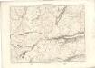
Inverness Shire 6 S.
1 : 128000 Thomson, John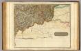
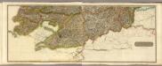
Inverness Shire 7 S.
1 : 128000 Johnson, William, fl. 1806-1840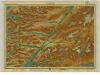
Lochaber, Sheet 15 - Bartholomew's "Half Inch to the Mile Maps" of Scotland
1 : 126720 Topographic maps John Bartholomew & Son, Ltd John Bartholomew & Son, Ltd
Fort-William District, Sheet 15 - Bartholomew's "Half Inch to the Mile Maps" of Scotland
1 : 126720 Topographic maps Bartholomew, John George John Bartholomew & Co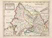
The West Part of Inverness Sh. Lochaber with all the Territories west from it / by H. Moll.
Moll, Herman, d. 1732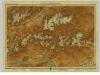
Atholl & Badenoch, Sheet 16 - Bartholomew's "Half Inch to the Mile Maps" of Scotland
1 : 126720 Topographic maps John Bartholomew & Son, Ltd John Bartholomew & Son, Ltd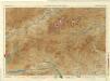
Braemar and Blair Atholl, Sheet 16 - Bartholomew's "Half Inch to the Mile Maps" of Scotland
1 : 126720 Topographic maps Bartholomew, John George John Bartholomew & Co
Ben Nevis & Fort William (47) - OS One-Inch map
1 : 63360 Topographic maps Ordnance Survey Ordnance Survey
Ben Nevis & Fort William (47) - OS One-Inch map
1 : 63360 Topographic maps Ordnance Survey Ordnance Survey
Loch Ericht & Loch Laggan (48) - OS One-Inch map
1 : 63360 Topographic maps Ordnance Survey Ordnance Survey
Loch Ericht & Loch Laggan (48) - OS One-Inch map
1 : 63360 Topographic maps Ordnance Survey Ordnance Survey
Grampian Mountains & Blair Atholl (49) - OS One-Inch map
1 : 63360 Topographic maps Ordnance Survey Ordnance Survey
Grampian Mountains & Blair Atholl (49) - OS One-Inch map
1 : 63360 Topographic maps Ordnance Survey Ordnance Survey
Loch Eil - OS One-Inch map
1 : 63360 Topographic maps Ordnance Survey Ordnance Survey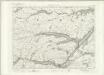
Loch Eil - OS One-Inch map
1 : 63360 Topographic maps Ordnance Survey Ordnance Survey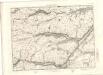
Loch Eil - OS One-Inch map
1 : 63360 Topographic maps Ordnance Survey Ordnance Survey
Glen Roy - OS One-Inch map
1 : 63360 Topographic maps Ordnance Survey Ordnance Survey
Kingussie - OS One-Inch map
1 : 63360 Topographic maps Ordnance Survey Ordnance Survey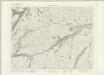
Glen Roy - OS One-Inch map
1 : 63360 Topographic maps Ordnance Survey Ordnance Survey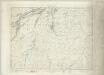
Kingussie - OS One-Inch map
1 : 63360 Topographic maps Ordnance Survey Ordnance Survey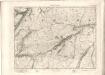
Glen Roy - OS One-Inch map
1 : 63360 Topographic maps Ordnance Survey Ordnance Survey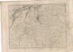
Kingussie - OS One-Inch map
1 : 63360 Topographic maps Ordnance Survey Ordnance Survey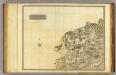
Perthshire NW.
1 : 131000 Storie, James
Blair Atholl - OS One-Inch map
1 : 63360 Topographic maps Ordnance Survey Ordnance Survey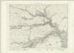
Blair Atholl - OS One-Inch map
1 : 63360 Topographic maps Ordnance Survey Ordnance Survey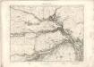
Blair Atholl - OS One-Inch map
1 : 63360 Topographic maps Ordnance Survey Ordnance Survey
Rannoch - OS One-Inch map
1 : 63360 Topographic maps Ordnance Survey Ordnance Survey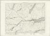
Rannoch - OS One-Inch map
1 : 63360 Topographic maps Ordnance Survey Ordnance Survey