Maps of Wyoming

Wyoming.
1 : 1500000 Rand McNally and Company
Territory of Wyoming, Alabama, Louisiana, Kansas.
Arbuckle Bros.
Wyoming.
1 : 1800000 Mitchell, Samuel Augustus
Wyoming.
1 : 2100000 Rand McNally and Company
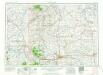
Territory Of Wyoming.
1 : 950400 U.S. General Land Office
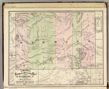
Wyoming.
1 : 1330560 Cram Atlas Company
Holt's New Map Of Wyoming.
1 : 760320 Holt, George L.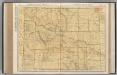
Wyoming.
1 : 982000 Rand McNally and Company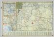
Shell Highway Map of Wyoming.
1 : 1203840 Shell Oil Company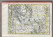
Wyoming.
1 : 1470000 Rand McNally and Company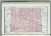
Wyoming.
1 : 1749000 Hammond, C.S.
Wyoming.
Rand McNally and Company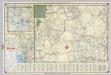
Shell Highway Map of Wyoming.
1 : 1203840 Shell Oil Company
Wyoming.
1 : 2300000 Cram, George Franklin; Davis, Ellis Arthur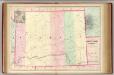
Wyoming.
1 : 1267200 Asher & Adams
Wyoming.
1 : 1521000 Rand McNally and Company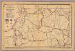
Wyoming.
1 : 2200000 Rand McNally and Company
Campaign map of the department of the Platte. sheet no. 4 : comprising that portion of Wyoming
1 : 600000 Jones, William Albert 1841-1914; États-Unis. Corps of Engineers [Omaha, Nebr.] : Engineer Dept., U.S. Army
Map of reconnaissances of routes in and leading from the Department of the Platte
1 : 900000 Stanton, William Sanford 1842-1918 [New York] : [American Photo-Litho. Co.]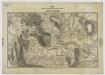
Map of the Military Department of the Platte, Wyoming. sheet no. 3
1 : 1200000 Jones, William Albert 1841-1914 [Omaha, Nebr.] : [Engineer Dept., U.S. Army]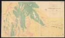
Economic map of portions of Wyoming, Idaho and Utah
1 : 506700 Hayden, Ferdinand Vandeveer Department of the Interior, U.S.Geological and Geographical Survey of the Territories
Campaign map of the department of the Platte. sheet no. 3 : comprising that portion of Nebraska and Wyoming
1 : 600000 Jones, William Albert 1841-1914; États-Unis. Corps of Engineers [Omaha, Nebr.] : Engineer Dept., U.S. Army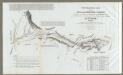
Map Of The Road From Missouri To Oregon ... Section IV.
1 : 633600 Preuss, Charles
Part of central Wyoming
1 : 253440 Chittenden, G.B. U.S.Geological and Geographical Survey of the Territories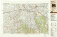
Rawlins
1 : 250000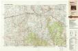
Rawlins
1 : 250000
Rock Springs
1 : 250000
Rawlins
1 : 250000
Rock Springs
1 : 250000
Rock Springs
1 : 250000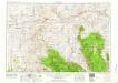
Rawlins
1 : 250000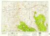
Rawlins
1 : 250000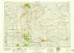
Cheyenne
1 : 250000
Cheyenne
1 : 250000
Rock Springs
1 : 250000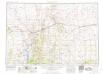
Rock Springs
1 : 250000
Rawlins
1 : 250000
Rawlins
1 : 250000
Cheyenne
1 : 250000
Cheyenne
1 : 250000