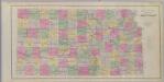
Maps of Kansas

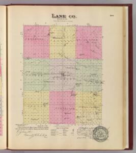
Lane Co., Kansas.
1 : 162926 L.H. Everts & Co.
Amy
1 : 24000
Dighton
1 : 24000
Alamota
1 : 24000
Healy
1 : 24000
Shields SE
1 : 24000
Shields
1 : 24000
Amy SE
1 : 24000
Dighton SW
1 : 24000
Dighton SE
1 : 24000
Cheyenne Creek
1 : 24000
Shields NW
1 : 24000
Pendennis
1 : 24000
Grigston
1 : 24000
Manning
1 : 24000
Amy SW
1 : 24000
Healy NW
1 : 24000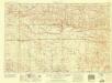
Scott City
1 : 250000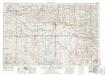
Scott City
1 : 250000
Scott City
1 : 250000
Scott City
1 : 250000
Scott City
1 : 250000
Scott City
1 : 100000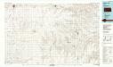
Scott City
1 : 100000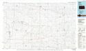
Healy
1 : 100000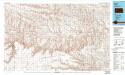
Healy
1 : 100000
Beeler
1 : 24000
Utica SW
1 : 24000
Beeler SW
1 : 24000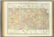
Kansas.
1 : 1030000 Rand McNally and Company