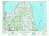
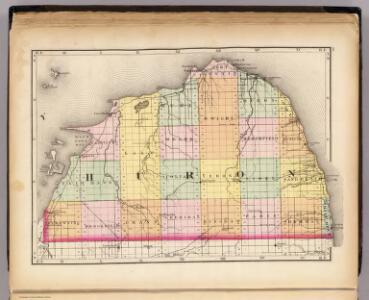
Maps of Huron County

(Map of Huron County, Michigan)
1 : 190080 Walling, H. F.
Bay Port East
1 : 24000
Bad Axe West
1 : 24000
Elkton
1 : 24000
Bad Axe East
1 : 24000
Bad Axe SE
1 : 24000
Harbor Beach
1 : 24000
Bad Axe SE
1 : 24000
Harbor Beach
1 : 24000
Caseville
1 : 24000
Kinde West
1 : 24000
Kinde East
1 : 24000
Port Hope
1 : 24000
Redman
1 : 24000
Owendale
1 : 24000
Gagetown
1 : 24000
Ruth
1 : 24000
Ruth
1 : 24000
Minden City
1 : 24000
Bay Port West
1 : 24000
Port Austin West
1 : 24000
Port Austin East
1 : 24000
Port Austin East
1 : 24000
Sebewaing
1 : 24000
Sebewaing
1 : 24000
Bay City
1 : 100000
Harbor Beach
1 : 100000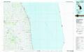
Harbor Beach
1 : 100000
Charity Island
1 : 24000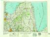
Flint
1 : 250000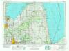
Flint
1 : 250000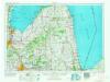
Flint
1 : 250000