Maps of Lassen County

From the Mud Lakes to Pacific Ocean.
1 : 760320 Beckwith, E.G.
San Francisco Bay to N. boundary of California.
1 : 760320 Williamson, R.S.
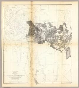
Northern California.
1 : 2150000 Holdredge, Sterling M.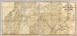
The Central Part of the State of California.
1 : 253440 Poett, A.
A complete map of the Feather & Yuba Rivers
1 : 1700000 Relief shown by hachures.Facsimile. Includes view of Marysville. A complete map of the Feather & Yuba Rivers: with towns, ranches, diggings, roads, distances / compiled from the recent surveys of M. Milleson & R. Adams ; drawn by M. Milleson. Milleson, M., Adams, R., Eddy, RA Marysville, Calia : R.A. Eddy.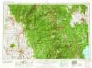
Chico
1 : 250000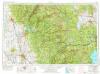
Chico
1 : 250000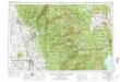
Chico
1 : 250000
Chico
1 : 250000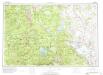
Susanville
1 : 250000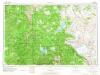
Susanville
1 : 250000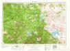
Westwood
1 : 250000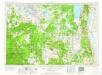
Alturas
1 : 250000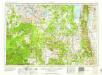
Alturas
1 : 250000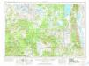
Alturas
1 : 250000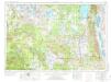
Alturas
1 : 250000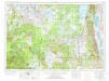
Alturas
1 : 250000
47B, D. E. Calif., W. Nevada.
1 : 253440 Wheeler, G.M.
47B, D. Land Classification E. Cal., W. Nev.
1 : 253440 Wheeler, G.M.
47B,D. E. Calif., W. Nevada.
1 : 253440 Wheeler, G.M.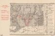
Gold Mines Located and Described by Chas. V. Averill 1933
1 : 1250000 Map shows location of quartz and placer gold mines, dredges, and prospects. California. Division of Mines and Geology [Sacramento? : California State Division of Mines?]
Weber's Map of Lake County, California
1 : 180000 Punnett Brothers
Modoc County.
1 : 126720 Metsker, Charles Frederick, 1881-
Modoc County, California.
1 : 190000 Green, Abbott M.
47A. Part Of North Central California.
1 : 253440 Wheeler, G.M.
47A. Land Classification Map Of Part Of North Central California.
1 : 253440 Wheeler, G.M.
Red Bluff
1 : 250000
Red Bluff
1 : 250000
Red Bluff
1 : 250000
Red Bluff
1 : 250000
Red Bluff
1 : 250000
Red Bluff
1 : 250000
Lassen Peak
1 : 250000
Lassen Peak
1 : 250000
Lassen Peak
1 : 250000
Lassen Peak
1 : 250000
Lassen Peak
1 : 250000
Lassen Peak
1 : 250000
Lassen Peak
1 : 250000
Lassen Peak
1 : 250000
Honey Lake
1 : 250000
Honey Lake
1 : 250000
Honey Lake
1 : 250000
Honey Lake
1 : 250000
Honey Lake
1 : 250000
Honey Lake
1 : 250000
Lassen Peak
1 : 250000
Honey Lake
1 : 250000
Red Bluff
1 : 250000
Lassen Peak
1 : 250000