Maps of Highland

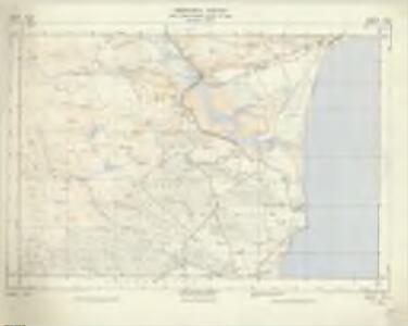
NH79 & Parts of NH89 - OS 1:25,000 Provisional Series Map
1 : 25000 Topographic maps Ordnance Survey Ordnance Survey
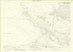
Sutherland Sheet CIX - OS 6 Inch map
1 : 10560 Topographic maps Ordnance Survey Ordnance Survey
Sutherland, Sheet CIX - OS 6 Inch map
1 : 10560 Topographic maps Ordnance Survey Ordnance Survey
Sutherland, Sheet CX.5 (Combined) - OS 25 Inch map
1 : 2500 Topographic maps Ordnance Survey Ordnance Survey
Sutherland, Sheet 105.13 - 25 Inch Map
1 : 2500 Topographic maps Ordnance Survey Ordnance Survey
Sutherland, Sheet CV.13 (Combined) - OS 25 Inch map
1 : 2500 Topographic maps Ordnance Survey Ordnance Survey
Sutherland, Sheet CIV.16 - OS 25 Inch map
1 : 2500 Topographic maps Ordnance Survey Ordnance Survey
Sutherland, Sheet 110.01 - 25 Inch Map
1 : 2500 Topographic maps Ordnance Survey Ordnance Survey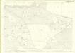
Sutherland, Sheet 110.09 - 25 Inch Map
1 : 2500 Topographic maps Ordnance Survey Ordnance Survey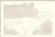
Sutherland, Sheet CX.9 - OS 25 Inch map
1 : 2500 Topographic maps Ordnance Survey Ordnance Survey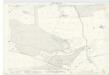
Sutherland, Sheet CXIII.1 (Combined) - OS 25 Inch map
1 : 2500 Topographic maps Ordnance Survey Ordnance Survey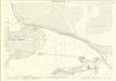
Sutherland, Sheet 110.05 - 25 Inch Map
1 : 2500 Topographic maps Ordnance Survey Ordnance Survey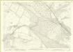
Sutherland, Sheet 104.16 - 25 Inch Map
1 : 2500 Topographic maps Ordnance Survey Ordnance Survey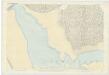
Sutherland, Sheet CX.1 (Combined) - OS 25 Inch map
1 : 2500 Topographic maps Ordnance Survey Ordnance Survey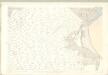
Sutherland, Sheet CIX.4 - OS 25 Inch map
1 : 2500 Topographic maps Ordnance Survey Ordnance Survey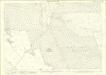
Sutherland, Sheet 110.13 - 25 Inch Map
1 : 2500 Topographic maps Ordnance Survey Ordnance Survey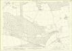
Sutherland, Sheet 113.01 - 25 Inch Map
1 : 2500 Topographic maps Ordnance Survey Ordnance Survey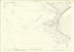
Sutherland, Sheet 109.04 - 25 Inch Map
1 : 2500 Topographic maps Ordnance Survey Ordnance Survey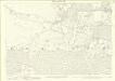
Sutherland, Sheet 109.12 - 25 Inch Map
1 : 2500 Topographic maps Ordnance Survey Ordnance Survey
Sutherland, Sheet CIX.8 - OS 25 Inch map
1 : 2500 Topographic maps Ordnance Survey Ordnance Survey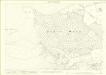
Sutherland, Sheet 109.08 - 25 Inch Map
1 : 2500 Topographic maps Ordnance Survey Ordnance Survey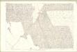
Sutherland, Sheet CX.13 - OS 25 Inch map
1 : 2500 Topographic maps Ordnance Survey Ordnance Survey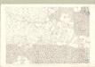
Sutherland, Sheet CIX.12 - OS 25 Inch map
1 : 2500 Topographic maps Ordnance Survey Ordnance Survey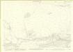
Sutherland, Sheet 104.15 - 25 Inch Map
1 : 2500 Topographic maps Ordnance Survey Ordnance Survey
Sutherland, Sheet 109.16 - 25 Inch Map
1 : 2500 Topographic maps Ordnance Survey Ordnance Survey
Sutherland, Sheet 112.04 - 25 Inch Map
1 : 2500 Topographic maps Ordnance Survey Ordnance Survey
Sutherland, Sheet 109.11 - 25 Inch Map
1 : 2500 Topographic maps Ordnance Survey Ordnance Survey
Sutherland, Sheet CIV.15 - OS 25 Inch map
1 : 2500 Topographic maps Ordnance Survey Ordnance Survey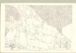
Sutherland, Sheet CIX.16 - OS 25 Inch map
1 : 2500 Topographic maps Ordnance Survey Ordnance Survey