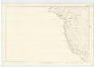
Maps of North Ayshire

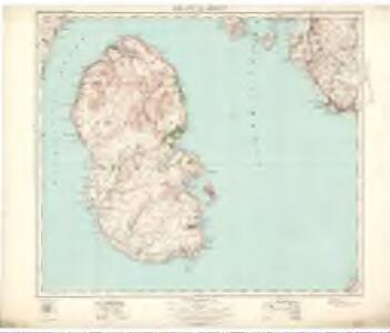
Island of Arran (77) - OS One-Inch map
1 : 63360 Topographic maps Ordnance Survey Ordnance Survey
Island of Arran (77) - OS One-Inch map
1 : 63360 Topographic maps Ordnance Survey Ordnance Survey
Isle of Arran - OS One-Inch Map
1 : 63360 Topographic maps Ordnance Survey Ordnance Survey
Buteshire.
1 : 85000 Thomson, John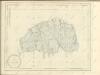

Buteshire.
Thomson, John, 1777- ca. 1840
Arran - OS One-Inch map
1 : 63360 Topographic maps Ordnance Survey Ordnance Survey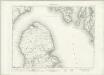
Arran - OS One-Inch map
1 : 63360 Topographic maps Ordnance Survey Ordnance Survey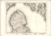
Arran - OS One-Inch map
1 : 63360 Topographic maps Ordnance Survey Ordnance Survey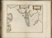
Buthe Insula, vulgo, The Yle of Boot / Auct. Tim. Pont.
Pont, Timothy, 1560?-1614? Blaeu, Joan, 1596-1673
NS03 - OS 1:25,000 Provisional Series Map
1 : 25000 Topographic maps Ordnance Survey Ordnance Survey
NS02 & Parts of NS01 - OS 1:25,000 Provisional Series Map
1 : 25000 Topographic maps Ordnance Survey Ordnance Survey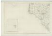
Ayrshire, Sheet X (with inset of sheet XV) - OS 6 Inch map
1 : 10560 Topographic maps Ordnance Survey Ordnance Survey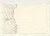
Argyllshire, Sheet CCLV - OS 6 Inch map
1 : 10560 Topographic maps Ordnance Survey Ordnance Survey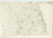
Argyllshire, Sheet CCXXXVIII - OS 6 Inch map
1 : 10560 Topographic maps Ordnance Survey Ordnance Survey
Argyllshire, Sheet CCLX - OS 6 Inch map
1 : 10560 Topographic maps Ordnance Survey Ordnance Survey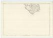
Argyllshire, Sheet CCXXVII - OS 6 Inch map
1 : 10560 Topographic maps Ordnance Survey Ordnance Survey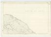
Argyllshire, Sheet CCXXVI - OS 6 Inch map
1 : 10560 Topographic maps Ordnance Survey Ordnance Survey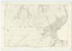
Argyllshire, Sheet CCXLIV - OS 6 Inch map
1 : 10560 Topographic maps Ordnance Survey Ordnance Survey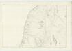
Argyllshire, Sheet CCXXXVII - OS 6 Inch map
1 : 10560 Topographic maps Ordnance Survey Ordnance Survey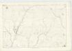
Argyllshire, Sheet CCLIV - OS 6 Inch map
1 : 10560 Topographic maps Ordnance Survey Ordnance Survey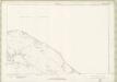
Argyll and Bute Sheet CCXXVI - OS 6 Inch map
1 : 10560 Topographic maps Ordnance Survey Ordnance Survey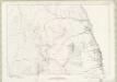
Argyll and Bute Sheet CCXXXVIII - OS 6 Inch map
1 : 10560 Topographic maps Ordnance Survey Ordnance Survey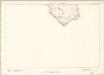
Argyll and Bute Sheet CCXXVII - OS 6 Inch map
1 : 10560 Topographic maps Ordnance Survey Ordnance Survey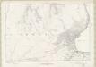
Argyll and Bute Sheet CCXLIV - OS 6 Inch map
1 : 10560 Topographic maps Ordnance Survey Ordnance Survey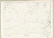
Argyll and Bute Sheet CCXLIX - OS 6 Inch map
1 : 10560 Topographic maps Ordnance Survey Ordnance Survey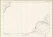
Argyll and Bute Sheet CCXXV - OS 6 Inch map
1 : 10560 Topographic maps Ordnance Survey Ordnance Survey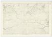
Argyllshire, Sheet CCXLIX - OS 6 Inch map
1 : 10560 Topographic maps Ordnance Survey Ordnance Survey
Argyll and Bute Sheet CCLIV - OS 6 Inch map
1 : 10560 Topographic maps Ordnance Survey Ordnance Survey