Maps of Nes

24B 4
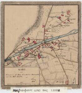
1 : 5000 Lund
E33-11, E33-12
1 : 50000 Georg Otto Lorange | Adler Gleditsch
1616-2 Gol
1 : 50000 Statens kartverk
1616-2 Gol
1 : 50000 Statens kartverk
1616-2 Gol
1 : 50000 Norges Geografiske Oppmåling
18D 12; 19C 9; 24B 4; 25A 1
1 : 50000 Lund
E33-11
1 : 50000 Adler Gleditsch | Marius Widerøe | Axel P. Printz | Einar Halle | Berthold Dahl
E33-10-n/2, E33-10-s/2
1 : 50000 Sverre Fermann Hermansen | Axel P. Printz | Hans Løken
1616-2 Gol
1 : 50000 Norges Geografiske Oppmåling
1616-2 Gol
1 : 50000 Statens kartverk
25A 2 (1/2); 25A 5; 25A 6
1 : 100000 C. Lund
E33 aust Tunnhovd
1 : 100000
Portefølje nr 30
1 : 100000 J. C. Richter
Portefølje nr 30
1 : 100000 Gedde
Portefølje nr 38
1 : 100000 Vibe
Portefølje nr 38
1 : 100000 Vibe
Spesielle kart 58-3: Kart over Drammenselvens Flødningsdistrikt
1 : 100000 Seip | Thurmann
Kartblad 68: Wey-Cart over det Yttre Valderske Compagnie District
Lauritz Nagel
Spesielle kart 123-2: Kart over Drammensvassdraget
1 : 100000 Toralf à ̃yen
Kartblad 32: Vej-Cart over det Nummedahlske Compagnie District
V. Dietrichs | Bruenech
Kartblad 63 vest: Det yttere Hallingdahlske Infanterie Compagnie District

Kartblad 63 øst: Det yttere Hallingdahlske Infanterie Compagnie District

Hallingdal
1 : 250000
Hallingdal
1 : 250000
Trigonometrisk grunnlag, Squelet-Cart 4 Kart over de Sommeren 1846 trigonometrisk bestemte Punkter
C. Bassøe
Trigonometrisk grunnlag, Squelet-Cart 65-6

Trigonometrisk grunnlag, Squelet-Cart 39: Skeletkart
1 : 400000 Th. Broch
Trigonometrisk grunnlag, Squelet-Cart 40: Skelet Kart over de Sommeren 1845 bestemte trigonometriske Punkter
1 : 300000 Wergeland
Geologisk kart over det Söndenfjeldske Norge
1 : 400000 Westblatt Kjerulf, Theodor ; Dahll, Tellef Carl Schwenzens