Maps of Flå

E33-6
1 : 50000 Eivind A. N. Riiber
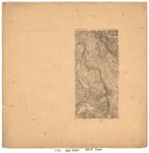
1615-1 Rødberg
1 : 50000 Statens kartverk
1615-1 Rødberg
1 : 50000 Statens kartverk
1615-1 Rødberg
1 : 50000 Statens kartverk
1615-1 Skjönne
1 : 50000 Norges Geografiske Oppmåling
F33-1
1 : 50000 Olaf Hjalmar Svae
1615-1 Rødberg
1 : 50000 Norges Geografiske Oppmåling
E33 aust Tunnhovd
1 : 100000
18D 8; 19C 1; 19C 5
1 : 50000 Lund
E33-4, E33-5
1 : 50000 Eivind A. N. Riiber
1715-4 Flå
1 : 50000 Statens kartverk
1616-2 Gol
1 : 50000 Statens kartverk
1616-2 Gol
1 : 50000 Norges Geografiske Oppmåling
1715-4 Flå
1 : 50000 Statens kartverk
18D 12; 19C 9; 24B 4; 25A 1
1 : 50000 Lund
Portefølje nr 30
1 : 100000 J. C. Richter
Portefølje nr 30
1 : 100000 Gedde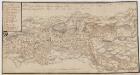
Kartblad 31- Chart over det Numedahlsche Compagnie District
S. Selboe
Spesielle kart 58-3: Kart over Drammenselvens Flødningsdistrikt
1 : 100000 Seip | Thurmann
Spesielle kart 123-2: Kart over Drammensvassdraget
1 : 100000 Toralf à ̃yen
Kartblad 32: Vej-Cart over det Nummedahlske Compagnie District
V. Dietrichs | Bruenech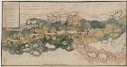
Kartblad 31-2: Chart over det Numedahlsche Compagnie District
S. Selboe
Kartblad 63 vest: Det yttere Hallingdahlske Infanterie Compagnie District

Kartblad 63 øst: Det yttere Hallingdahlske Infanterie Compagnie District

Hallingdal
1 : 250000
Hallingdal
1 : 250000
Trigonometrisk grunnlag, Squelet-Cart 65-6

Trigonometrisk grunnlag, Squelet-Cart 40: Skelet Kart over de Sommeren 1845 bestemte trigonometriske Punkter
1 : 300000 Wergeland
Geologisk kart over det Söndenfjeldske Norge
1 : 400000 Westblatt Kjerulf, Theodor ; Dahll, Tellef Carl Schwenzens