Maps of Melanesia

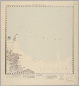
Blad VI Dato, uit: Residentie Wester-Afdeeling van Borneo / Topographisch Bureau
1 : 200000 titelvariant: Residentie Westerafdeeling van Borneo; Annotatie: Titelvariant: Residentie Westerafdeeling van Borneo; Voor aanwezige bladen zie overzichtsblad; Annotatie geografische gegevens: Opname: 1886-1895 Topographisch Bureau, Batavia Batavia : Topographisch Bureau
[West-Polynesien]
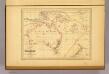
Hand-Atlas über alle Theile der Erde nach dem neuesten Zustande und über das Weltgebäude Stieler, Adolf bei Justus Perthes
[Islands of the Pacific]
United States. Hydrographic Office Hydrographic Office
Kaart der Vriendelyke Eilanden / [getekend door] R. van Wijk
Dordrecht : J. de Vos
Kaart der Vriendelyke eilanden : behoorende tot de door het Provinciaal Utrechtsch Genootschap bekroonde Verhandeling van R.G. Bennet en J. van Wyk Rz.
1 : 9000000 R. van Wyk Jz. del. Te Dordrecht : by J. de Vos & Co.
L'Oceanie, divers archipels.
1 : 15700000 Garnier, F. A., 1803-1863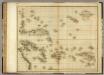
Islands in the Pacific Ocean.
1 : 17500000 Playfair, Principal
Grand Ocean a l'E. et SE. de la Nouvelle Guinee.
1 : 13000000 Mourelle de la Rua, Francisco Antonio, 1750-1820
Western Pacific Ocean.
1 : 14800000 United States Exploring Expedition (1838-1842)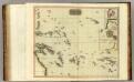
Pacific islands.
1 : 16000000 Thomson, John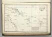
Route of the Spanish frigate la Princesa.
1 : 17500000 La Perouse, Jean-Francois de Galaup, comte de, 1741-1788
Australien und der Hinterindische Archipel
Austrálie Biller, Franz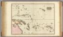
Polynesia.
1 : 15500000 Pinkerton, John, 1758-1826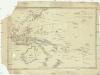
Australien
Austrálie T. Mollo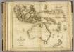
Asiatic Islands.
1 : 18750000 Playfair, Principal
Oceanien.
1 : 30000000 Berghaus, Hermann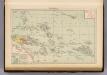
Polynesia.
1 : 30000000 Andree, Richard; Times (London, England)
Atlas für Handel und Industrie: Für Kaufleute, Fabrikante u. Gewerbetreibende, Handlungs- u. Gewerbe-Schulen

233-234. Australia, Oceania, Physical. The World Atlas.
1 : 20000000 USSR (Union of Soviet Socialist Republics).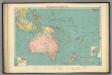
Australasian, Polynesian ports.
1 : 20000000 Philip, George
Polynesia.
Society for the Diffusion of Useful Knowledge (Great Britain)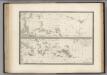
La Polynesie.
1 : 4500000 Levasseur, E.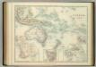
Oceania.
1 : 25000000 Johnston, W. & A.K.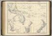
Oceania.
1 : 26500000 Johnston, Alexander Keith, 1804-1871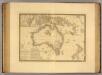
Australie.
1 : 16000000 Picquet, C.
Australasia.
1 : 37000000 Arrowsmith, Aaron; Lewis, Samuel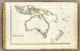
Oceanie 3.
1 : 15500000 Brue, Adrien Hubert, 1786-1832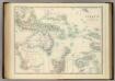
Oceania.
1 : 25000000 Johnston, Alexander Keith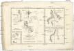
Terre de Kerguelen, appellée par M. Cook
1 : 3970000 Tichý oceán-oblast Bonne, Rigobert André