Maps of Velké Chvojno

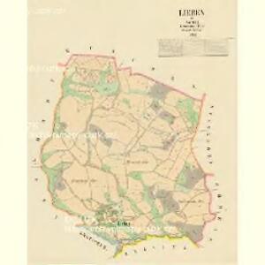
Lieben - c4052-1-001 - Kaiserpflichtexemplar der Landkarten des stabilen Katasters
1 : 2880
München - c4778-1-002 - Kaiserpflichtexemplar der Landkarten des stabilen Katasters
1 : 2880
München - c4778-1-001 - Kaiserpflichtexemplar der Landkarten des stabilen Katasters
1 : 2880
Spansdorf - c4123-1-001 - Kaiserpflichtexemplar der Landkarten des stabilen Katasters
1 : 2880
Spansdorf - c4123-1-002 - Kaiserpflichtexemplar der Landkarten des stabilen Katasters
1 : 2880
Gratschen - c6328-1-001 - Kaiserpflichtexemplar der Landkarten des stabilen Katasters
1 : 2880
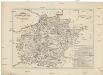
Karte des politischen Bezirkes Aussig

III. vojenské mapování 3752/1
1 : 25000
Hydrografische Uibersichtskarte der Flüsse, Bäche und sonstigen Gewässer im Königreiche Boehmen

III. vojenské mapování 3752/1
1 : 25000
III. vojenské mapování 3752/1
1 : 25000
Die Schlacht bei Kulm am 29. u. 30. August 1813
Chlumec (Ústí nad Labem, Česko) Loquens, Jos. Bormann, E.
Carte chorographique et militaire de la partie de la Saxe et de la Boheme...

Karte von dem Bezirk Tetschen
1 : 36000 Děčín-oblast (Česko) Bormann, E. Böhmische Forstverein
[Geologická mapa Děčínska]
Děčín-oblast (Česko) Benecke
Übersichts Karte des Bezirkes Tetschen
1 : 56000 Děčín-oblast (Česko) Benecke Bormann, E.
Übersichts Karte des Bezirkes Tetschen
1 : 56000 Děčín-oblast (Česko) Bormann, E.
Übersichts Karte des Bezirkes Tetschen
Děčín-oblast (Česko) Kořistka, Karel František Edvard Kořistka, Karel František Edvard
Übersichts Karte des Bezirkes Tetschen
Děčín-oblast (Česko) Benecke Bormann, E.
Die Herschaft Toeplitz im Lautmeritzer Creisse des Königreichs Boehmen
Charte der Bezirkshauptmannschaft Tetschen
1 : 80000 Děčín-oblast (Česko) Medau, Karel Vilém von dem Lehrpersonale der Leitmeritzer k.k. Hauptschule
Touristen-Karte des Aussiger Mittel- und Erzgebirgs-Vereines
1 : 75000 Krušné hory (Česko a Německo) Kroitzsch, Carl Mittel- und Erzgebirgesverein
Litoměřice
1 : 75000 Litoměřice-oblast (Česko) Vojenský zeměpisný ústav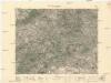
Litoměřice
1 : 75000 Litoměřice (Česko : oblast) Vojenský zeměpisný ústav
III. vojenské mapování 3752
1 : 75000
Soubor přehledných map pro plánování a statistiku: 3752 – Litoměřice

Karte des Bezirkes Tetschen
Děčín-oblast (Česko) F. Sandtner
Karte der Teplitzer Umgebung und der Nachbarbezirke
1 : 143000 Teplice-oblast (Česko) C. Weigend