Maps of gmina Międzylesie

Podrobná mapa Markrabství moravského a Vévodství slezkého
1 : 100000 Králíky (Ústí nad Orlicí, Česko : oblast) Srp, Jan Jos. R. Vilímek
[Vilímkovy místopisné mapy zemí Koruny české]
1 : 100000 Králíky (Ústí nad Orlicí, Česko : oblast) Srp, Jan Jos. R. Vilímek
Podrobná mapa Království českého
1 : 100000 Králíky (Ústí nad Orlicí, Česko : oblast) Srp, Jan Jaroslav Bursík
Blatt I, uit: Geologisch-hydrographische Beschreibung des Niederschlagsgebietes der Glatzer-Neisse (oberhalb der Steinemündung) / A. Leppla ; hrsg. von der Königl. Preussischen geologischen Landesanstalt u. Bergakademie
Annotatie: Omslagtitel Königl. Preussische geologische Landesanstalt u. Bergakademie Berlin : Schropp
Blatt VII, uit: Geologisch-hydrographische Beschreibung des Niederschlagsgebietes der Glatzer-Neisse (oberhalb der Steinemündung) / A. Leppla ; hrsg. von der Königl. Preussischen geologischen Landesanstalt u. Bergakademie
Annotatie: Omslagtitel Königl. Preussische geologische Landesanstalt u. Bergakademie Berlin : Schropp
Senftenberg.
from Spezialkarte der osterreichisch-ungarischen Monarchie.
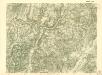
Mittelwalde-Kamnitz
1 : 100000 Międzylesie (Polsko : oblast) Reichsamt für Landesaufnahme-Reichskartenstelle

Podrobná mapa Markrabství moravského a Vévodství slezkého
1 : 100000 Javorník (Jeseník, Česko : oblast) Srp, Jan Jos. R. Vilímek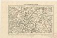
Kralický sněžník a Jeseníky

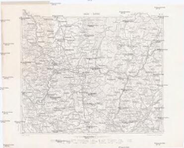
Soubor přehledných map pro plánování a statistiku: 3957 – Žamberk

Žamberk
1 : 75000 Žamberk (Česko : oblast) Vojenský zeměpisný ústav
Žamberk
1 : 75000 Žamberk (Česko : oblast) Vojenský zeměpisný ústav
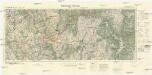
Kreis Habelschwerdt, Regierungs-Bezirk Breslau
1 : 100000 Králíky-oblast (Ústí nad Orlicí, Česko) Petters, H.
III. vojenské mapování 3957
1 : 75000
Žamberk
1 : 75000 Králický Sněžník (Česko a Polsko : pohoří) Vojenský zeměpisný ústav

Gradabtheilung 50/51 der Breite 35/34 der Länge
Kořistka, Karel František Edvard
Idealer Plan von der Gegend zwischen Grulich, Rothwasser, Leipka und Lichtenau
Králíky-oblast (Ústí nad Orlicí, Česko)
[Kartenblatt]
1 : 25000 Králíky (Ústí nad Orlicí, Česko : oblast) Reichsamt für Landesaufnahme


III. vojenské mapování 3957/4
1 : 25000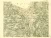
III. vojenské mapování 3957/4
1 : 25000
III. vojenské mapování 3958/3
1 : 25000
[Kartenblatt]
1 : 25000 Králický Sněžník (Česko a Polsko : pohoří) Reichsamt für Landesaufnahme
[Kartenblatt]
1 : 25000 Hanušovice (Česko : oblast) Reichsamt für Landesaufnahme
[Kartenblatt]
1 : 25000 Dolní Morava (Česko) Reichsamt für Landesaufnahme