Maps of Kozojedy

Kopie katastrální mapy obce Kozojedy, list VI 1

Hospodářská mapa polesí Obora, list 4 1
1 : 2880
Porostní mapa polesí Přerubenice 1
1 : 10000
Kozoged - c3467-1-005 - Kaiserpflichtexemplar der Landkarten des stabilen Katasters
1 : 2880
Kozoged - c3467-1-004 - Kaiserpflichtexemplar der Landkarten des stabilen Katasters
1 : 2880
Kozoged - c3467-1-002 - Kaiserpflichtexemplar der Landkarten des stabilen Katasters
1 : 2880
Kozoged - c3467-1-001 - Kaiserpflichtexemplar der Landkarten des stabilen Katasters
1 : 2880
Kozoged - c3467-1-003 - Kaiserpflichtexemplar der Landkarten des stabilen Katasters
1 : 2880
Porostní mapa polesí Přerubenice 1

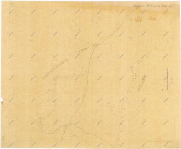
Pochwalow - c5962-1-001 - Kaiserpflichtexemplar der Landkarten des stabilen Katasters
1 : 2880
Pochwalow - c5962-1-002 - Kaiserpflichtexemplar der Landkarten des stabilen Katasters
1 : 2880
Pochwalow - c5962-1-003 - Kaiserpflichtexemplar der Landkarten des stabilen Katasters
1 : 2880
Pochwalow - c5962-1-004 - Kaiserpflichtexemplar der Landkarten des stabilen Katasters
1 : 2880
Porostní mapa polesí Třeboc 1

Millay (Milley) - c4685-1-002 - Kaiserpflichtexemplar der Landkarten des stabilen Katasters
1 : 2880
Millay (Milley) - c4685-1-005 - Kaiserpflichtexemplar der Landkarten des stabilen Katasters
1 : 2880
Millay (Milley) - c4685-1-004 - Kaiserpflichtexemplar der Landkarten des stabilen Katasters
1 : 2880
Millay (Milley) - c4685-1-001 - Kaiserpflichtexemplar der Landkarten des stabilen Katasters
1 : 2880
Millay (Milley) - c4685-1-006 - Kaiserpflichtexemplar der Landkarten des stabilen Katasters
1 : 2880
Millay (Milley) - c4685-1-003 - Kaiserpflichtexemplar der Landkarten des stabilen Katasters
1 : 2880
Porostní mapa lesa nadačního statku Blšany 1

Kopie katastrální mapy obce Kroučová z roku 1841, list VII 1

Hospodářská mapa polesí Třeboc, list 2 1
1 : 2880
Porostní mapa polesí Třeboc 1

Mapa polesí Třeboc, Obora, Přerubenice 1
1 : 20000
Přehledná mapa lesů lesního okrsku Domoušice 1

Porostní mapa pro exkurzi Českého lesnického spolku v domoušickém lesním okrsku v roce 1881 1
1 : 20000
Porostní mapa pro exkurzi Českého lesnického spolku v domoušickém lesním okrsku v roce 1881 1
1 : 20000
Porostní mapa pro exkurzi Českého lesnického spolku v domoušickém lesním okrsku v roce 1881 1
1 : 20000