Maps of Maldon
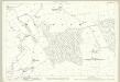
Essex nXLVI - OS Six-Inch Map
1 : 10560 Topographic maps Ordnance Survey Ordnance Survey
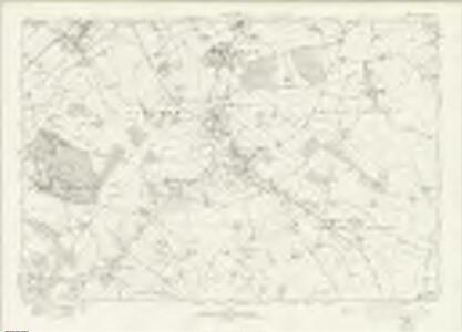
Essex nXLVI.SE - OS Six-Inch Map
1 : 10560 Topographic maps Ordnance Survey Ordnance Survey
Essex nXLVI.NW - OS Six-Inch Map
1 : 10560 Topographic maps Ordnance Survey Ordnance Survey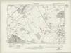
Essex nXLVI.NW - OS Six-Inch Map
1 : 10560 Topographic maps Ordnance Survey Ordnance Survey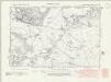
Essex nXLVI.SW - OS Six-Inch Map
1 : 10560 Topographic maps Ordnance Survey Ordnance Survey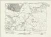
Essex nXLVI.SW - OS Six-Inch Map
1 : 10560 Topographic maps Ordnance Survey Ordnance Survey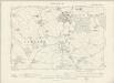
Essex XXXV.SE - OS Six-Inch Map
1 : 10560 Topographic maps Ordnance Survey Ordnance Survey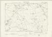
Essex XLV.NE - OS Six-Inch Map
1 : 10560 Topographic maps Ordnance Survey Ordnance Survey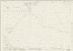
Essex (New Series 1913-) n XLVI.8 (includes: Layer Marney) - 25 Inch Map
1 : 2500 Topographic maps Ordnance Survey Ordnance Survey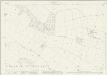
Essex (New Series 1913-) n XLVI.12 (includes: Great Wigborough; Layer Marney; Tolleshunt Knights) - 25 Inch Map
1 : 2500 Topographic maps Ordnance Survey Ordnance Survey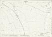
Essex (New Series 1913-) n XLVI.16 (includes: Salcot; Tolleshunt Darcy; Tolleshunt Knights) - 25 Inch Map
1 : 2500 Topographic maps Ordnance Survey Ordnance Survey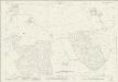
Essex (New Series 1913-) n XLVI.3 (includes: Birch; Layer Marney; Messing cum Inworth; Tiptree) - 25 Inch Map
1 : 2500 Topographic maps Ordnance Survey Ordnance Survey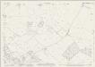
Essex (New Series 1913-) n XLVI.7 (includes: Layer Marney; Tiptree) - 25 Inch Map
1 : 2500 Topographic maps Ordnance Survey Ordnance Survey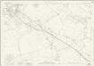
Essex (New Series 1913-) n XLVI.11 (includes: Tiptree; Tolleshunt Darcy; Tolleshunt Knights) - 25 Inch Map
1 : 2500 Topographic maps Ordnance Survey Ordnance Survey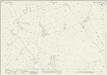
Essex (New Series 1913-) n XLVI.15 (includes: Tolleshunt Darcy; Tolleshunt Major) - 25 Inch Map
1 : 2500 Topographic maps Ordnance Survey Ordnance Survey
Essex (New Series 1913-) n XLVI.4 (includes: Birch; Layer Breton; Layer Marney) - 25 Inch Map
1 : 2500 Topographic maps Ordnance Survey Ordnance Survey
Essex XXXVI.SW - OS Six-Inch Map
1 : 10560 Topographic maps Ordnance Survey Ordnance Survey
Essex XLVI.NW - OS Six-Inch Map
1 : 10560 Topographic maps Ordnance Survey Ordnance Survey
Essex (New Series 1913-) n XLVI.2 (includes: Kelvedon; Messing cum Inworth; Tiptree) - 25 Inch Map
1 : 2500 Topographic maps Ordnance Survey Ordnance Survey
Essex (New Series 1913-) n XLVI.6 (includes: Messing cum Inworth; Tiptree) - 25 Inch Map
1 : 2500 Topographic maps Ordnance Survey Ordnance Survey
Essex (New Series 1913-) n XLVI.10 (includes: Tiptree; Tolleshunt Darcy) - 25 Inch Map
1 : 2500 Topographic maps Ordnance Survey Ordnance Survey
Essex (New Series 1913-) n XLVI.14 (includes: Great Braxted; Great Totham; Little Totham; Tolleshunt Darcy; Tolleshunt Major) - 25 Inch Map
1 : 2500 Topographic maps Ordnance Survey Ordnance Survey
Essex (New Series 1913-) n XLVI.5 (includes: Great Braxted) - 25 Inch Map
1 : 2500 Topographic maps Ordnance Survey Ordnance Survey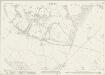
Essex (New Series 1913-) n XLVI.9 (includes: Great Braxted) - 25 Inch Map
1 : 2500 Topographic maps Ordnance Survey Ordnance Survey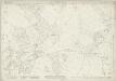
Essex (New Series 1913-) n XLVI.13 (includes: Great Braxted; Great Totham; Little Braxted) - 25 Inch Map
1 : 2500 Topographic maps Ordnance Survey Ordnance Survey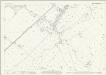
Essex (New Series 1913-) n XLVI.1 (includes: Great Braxted; Kelvedon; Messing cum Inworth) - 25 Inch Map
1 : 2500 Topographic maps Ordnance Survey Ordnance Survey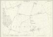
Essex (1st Ed/Rev 1862-96) XXXVI.9 (includes: Birch; Layer Marney) - 25 Inch Map
1 : 2500 Topographic maps Ordnance Survey Ordnance Survey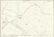
Essex (1st Ed/Rev 1862-96) XXXVI.13 (includes: Layer Marney; Tolleshunt Knights) - 25 Inch Map
1 : 2500 Topographic maps Ordnance Survey Ordnance Survey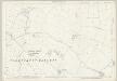
Essex (1st Ed/Rev 1862-96) XLVI.1 (includes: Great Wigborough; Layer Marney; Tolleshunt Knights) - 25 Inch Map
1 : 2500 Topographic maps Ordnance Survey Ordnance Survey