Maps of Krødsherad

1715-2 Kröderen
1 : 50000 Statens kartverk
1715-2 Krøderen
1 : 50000 Statens kartverk
1715-2 Kröderen
1 : 50000 Norges Geografiske Oppmåling
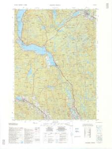
F34-4
1 : 50000 Hans Knagenhjelm Hertzberg | Erling Bjørstad | Einar Fredrik Hafslund | Marius Widerøe
19A 8
1 : 50000 Holmboe
19A 4
1 : 50000 Holmboe
F34-4, F34-5
1 : 50000 Marius Widerøe
F34-3
1 : 50000 Toralf Øyen
1715-2 Krøderen
1 : 50000 Statens kartverk
1715-2 Sigdal
1 : 50000 Norges Geografiske Oppmåling
F34-3
1 : 50000 Wilhelm Munthe-Kaas
F34-4
1 : 50000 Einar Fredrik Hafslund
F34 Krøderen
1 : 100000 Ole Tolstad | Ellef Nilsen
F34 Krøderen
1 : 100000 Ole Tolstad | Ellef Nilsen
f34-4-5
1 : 50000 Erling Bjà ̧rstad
F34 aust Tyristrand
1 : 100000
F34 vest Sigdal
1 : 100000
F34 aust Tyristrand
1 : 100000
F34 aust Tyristrand
1 : 100000
F34-9, F34-10
1 : 50000 Einar C. I. N. Michelsen | Ingvald M. E. Smith-Kjelland
F34-10
1 : 50000 Ingvald M. E. Smith-Kjelland
19A 2; 19A 3; 19A 7
1 : 50000 E. Meydell
F34-1, F34-2, F34-3
1 : 50000 Ole B. Hanssen | Hans Michael Arentz | Per Tang | Wilhelm Munthe-Kaas | Toralf Øyen | Halle
19A 10; 19A 11
1 : 50000 Lund
F35-10
1 : 25000 Carl Rustad | Thor Alexander Dahl | Harald Lone | Otto Ruge | Haffner
F34-5, F34-6
1 : 50000 Nicolay Caspary Ræder | Hans Knagenhjelm Hertzberg | Toralf Øyen | Johan Gulbrandsen Natrud | Erling Bjørstad | Marius Widerøe | Even Olsen Daarstad | Thorleif Barlag | David Ebbesen | Carl Gustav Fleischer
F34-10
1 : 50000 Ingvald M. E. Smith-Kjelland
F35-6-no/6
1 : 25000 Harald Lone
Spesielle kart 23: Vestbanerne, Christiania-Drammen-Randsfjord-Kongsberg-Krøderen og Drammen-Laurvik-Skien
1 : 400000 Albert Cammermeyer Forlag