Maps of Seljord

E35-1; E35-2
1 : 50000 Thorleif Barlag | Toralf Øyen | Hjalmar Skaar
E35 vest Rjukan
1 : 100000
E35 vest Rjukan
1 : 100000
E35 vest Rjukan
1 : 100000
E35 vest Rjukan
1 : 100000
Geologisk kart 9 Rjukan
1 : 100000 Johannes A. Dons Norges geologiske undersøkelse
E35 vest Rjukan
1 : 100000
1514-1 Frøystul
1 : 50000
1514-1 Fröystaul
1 : 50000 Statens kartverk
1514-1 Frøystaul
1 : 50000 Statens kartverk
13C 8; 13C 12; 13D 5; 13D 9
1 : 50000 Christoffer Fredrik von Lowzow
1514-1 Fröystul
1 : 50000 Norges Geografiske Oppmåling
13B 9; 13D 1
1 : 50000 J. H. Aas
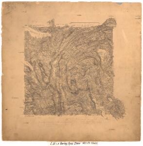
Kart over terrenget Maar Gjøistavatn
1 : 100000 H. K. Hertzberg
1514-1 Fröystaul
1 : 50000 Norges Geografiske Oppmåling
1514-1 Frøystaul
1 : 50000 Statens kartverk
13A 12; 13C 4
1 : 50000 C. C. Lund
1514-2 Åmotsdal
1 : 50000 Norges Geografiske Oppmåling
1514-2 Åmotsdal
1 : 50000 Statens kartverk
1514-2 Åmotsdal
1 : 50000 Statens kartverk
1514-2 Åmotsdal
1 : 50000 Norges Geografiske Oppmåling
Kartblad 145 øst: Cart over det 2det Westfieldske øwre Tellemarkske Compagnie District; østre del
Koss
Kartblad 21-2: Geographisk Kart over det Hjerdalske Compagnie District; versjon 2
Mathias Andreas Rye
Portefølje nr 21
1 : 100000 H. Lassen
Portefølje nr 21
1 : 100000 H. Lassen
Geologiske kart 45: Geologisk kart over Østtelemarken
1 : 300000 Kjerulf | W. Werenskiold | Tellef Dahll
Spesielle kart 58-5: Kart over Drammenselvens Flødningsdistrikt
1 : 100000 Thurmann | Seip
1514-2 Åmotsdal
1 : 50000 Statens kartverk
1514-2 Åmotsdal
1 : 50000 Norges Geografiske Oppmåling