Maps of Selston CP

Belper
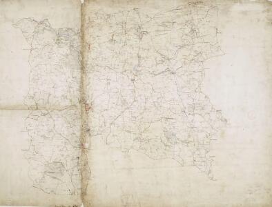
1 : 31680 There is no hill sketching on this drawing, suggesting it is an intermediate version. Yellow lines represent the area that would be covered by the final plan. A triangulation diagram appears on the reverse of this drawing. This enabled the draughtsman to plot prominent features of the landscape. Major lines of communication are coloured yellow, following standard military cartographic convention.
Derby (Hills) - OS One-Inch Revised New Series
1 : 63360 Topographic maps Ordnance Survey Ordnance Survey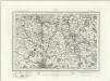
Derby (Outline) - OS One-Inch Revised New Series
1 : 63360 Topographic maps Ordnance Survey Ordnance Survey
SK44 - OS 1:25,000 Provisional Series Map
1 : 25000 Topographic maps Ordnance Survey Ordnance Survey
SK34 - OS 1:25,000 Provisional Series Map
1 : 25000 Topographic maps Ordnance Survey Ordnance Survey
SK45 - OS 1:25,000 Provisional Series Map
1 : 25000 Topographic maps Ordnance Survey Ordnance Survey
SK35 - OS 1:25,000 Provisional Series Map
1 : 25000 Topographic maps Ordnance Survey Ordnance Survey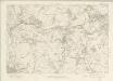
Derbyshire XL - OS Six-Inch Map
1 : 10560 Topographic maps Ordnance Survey Ordnance Survey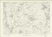
Derbyshire XLV - OS Six-Inch Map
1 : 10560 Topographic maps Ordnance Survey Ordnance Survey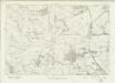
Derbyshire XXXV - OS Six-Inch Map
1 : 10560 Topographic maps Ordnance Survey Ordnance Survey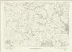
Derbyshire XLIV - OS Six-Inch Map
1 : 10560 Topographic maps Ordnance Survey Ordnance Survey
Derbyshire XXXIX - OS Six-Inch Map
1 : 10560 Topographic maps Ordnance Survey Ordnance Survey
Derbyshire XXXIV - OS Six-Inch Map
1 : 10560 Topographic maps Ordnance Survey Ordnance Survey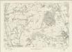
Derbyshire XLI - OS Six-Inch Map
1 : 10560 Topographic maps Ordnance Survey Ordnance Survey
Derbyshire XLVI - OS Six-Inch Map
1 : 10560 Topographic maps Ordnance Survey Ordnance Survey
Derbyshire XXXIV.SE - OS Six-Inch Map
1 : 10560 Topographic maps Ordnance Survey Ordnance Survey
Derbyshire XXXIV.SE - OS Six-Inch Map
1 : 10560 Topographic maps Ordnance Survey Ordnance Survey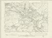
Derbyshire XXXIV.SE - OS Six-Inch Map
1 : 10560 Topographic maps Ordnance Survey Ordnance Survey
Derbyshire XXXIV.SE - OS Six-Inch Map
1 : 10560 Topographic maps Ordnance Survey Ordnance Survey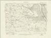
Derbyshire XXXIX.NE - OS Six-Inch Map
1 : 10560 Topographic maps Ordnance Survey Ordnance Survey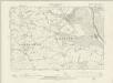
Derbyshire XXXIX.NE - OS Six-Inch Map
1 : 10560 Topographic maps Ordnance Survey Ordnance Survey
Derbyshire XXXIX.NE - OS Six-Inch Map
1 : 10560 Topographic maps Ordnance Survey Ordnance Survey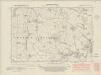
Derbyshire XXXIX.SE - OS Six-Inch Map
1 : 10560 Topographic maps Ordnance Survey Ordnance Survey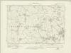
Derbyshire XXXIX.SE - OS Six-Inch Map
1 : 10560 Topographic maps Ordnance Survey Ordnance Survey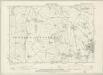
Derbyshire XXXIX.SE - OS Six-Inch Map
1 : 10560 Topographic maps Ordnance Survey Ordnance Survey
Derbyshire XXXIX.SE - OS Six-Inch Map
1 : 10560 Topographic maps Ordnance Survey Ordnance Survey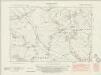
Derbyshire XLIV.NE - OS Six-Inch Map
1 : 10560 Topographic maps Ordnance Survey Ordnance Survey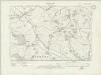
Derbyshire XLIV.NE - OS Six-Inch Map
1 : 10560 Topographic maps Ordnance Survey Ordnance Survey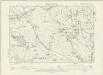
Derbyshire XLIV.NE - OS Six-Inch Map
1 : 10560 Topographic maps Ordnance Survey Ordnance Survey