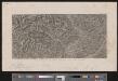
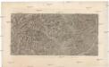
Old maps of Verwaltungsregion Emmental-Oberaargau
Discover the past of Verwaltungsregion Emmental-Oberaargau on historical maps
Browse the old maps


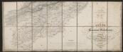
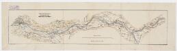
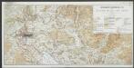
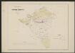
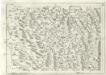
Maps of Verwaltungsregion Emmental-Oberaargau
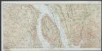
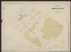
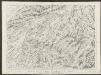
Maps of Verwaltungsregion Emmental-Oberaargau