ArcGIS, QGIS or web apps can simply use this map with web map services. WMTS, TileJSON or XYZ tiles are provided for quick access to processed maps.
Sign in to get links.
Sign in to download GeoTIFF.
Overlay & compare
iiif viewer, iiif info json
Website
Original viewer
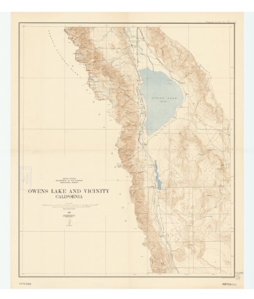
Owens Lake and vicinity, California
21198_zz002c1841
California
Relief shown by contours and spot heights.
1939
United States Department of the Interior, Geological Survey
60 × 72 cm
1 : 125000