ArcGIS, QGIS or web apps can simply use this map with web map services. WMTS, TileJSON or XYZ tiles are provided for quick access to processed maps.
Sign in to get links.
Sign in to download GeoTIFF.
Overlay & compare
iiif viewer, iiif info json
Website
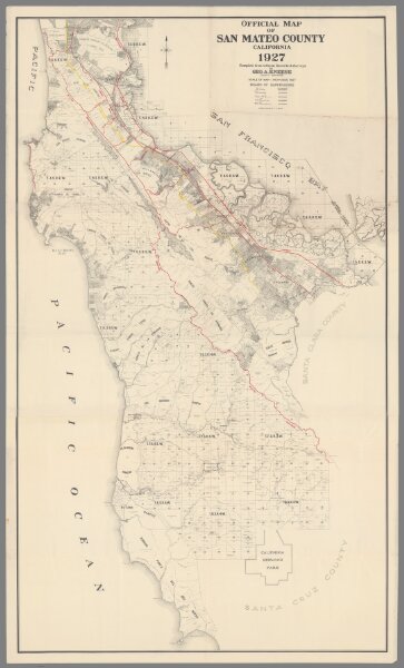
Official Map of San Mateo County California 1927.
10687.000
pilot5
Official Map of San Mateo County California 1927. Compiled from Official Records and Surveys by Geo. A. Kneese, County Surveyor.
1927
Kneese, George A.
San Mateo County
133 × 233 cm
1 : 2500