ArcGIS, QGIS or web apps can simply use this map with web map services. WMTS, TileJSON or XYZ tiles are provided for quick access to processed maps.
Sign in to get links.
Sign in to download GeoTIFF.
Overlay & compare
iiif viewer, iiif info json
Website
City maps (Continues)
4246.061
pilot5
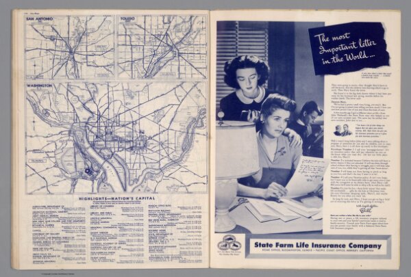
City maps. San Antonio, TEX. Toledo, Ohio. Washington, D.C. (with) Highlight-Nation's Capital. Copyright by Rand McNally & Company, Chicago, Ill. Lithographed in U.S.A.
1944
State Farm Insurance Companies Travel Bureau
Rand McNally
29 × 28 cm