ArcGIS, QGIS or web apps can simply use this map with web map services. WMTS, TileJSON or XYZ tiles are provided for quick access to processed maps.
Sign in to get links.
Sign in to download GeoTIFF.
Overlay & compare
iiif viewer, iiif info json
Website
Original viewer
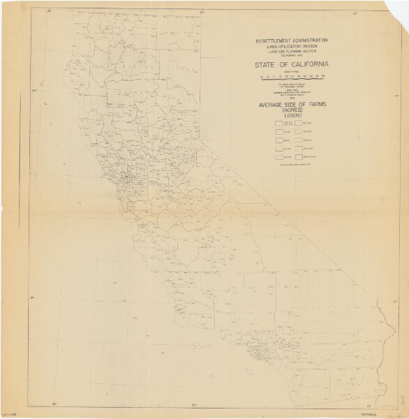
State of California : value of farm lands and buildings per acre
21198_zz002b10sk
California
"Based on 1930 census, compiled 1936." Blue line print. "10-R-2013."
1936
Resettlement Administration, Land Utilization Division, Land-Use Planning Section, California Unit.
97 × 104 cm
1 : 1000000