ArcGIS, QGIS or web apps can simply use this map with web map services. WMTS, TileJSON or XYZ tiles are provided for quick access to processed maps.
Sign in to get links.
Sign in to download GeoTIFF.
Overlay & compare
iiif viewer, iiif info json
Website
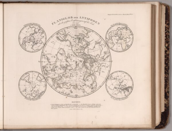
Planiglob der Antipoden. (Antipodes).
0960.012
pilot
Stieler's Hand-Atlas ... No. 8. Planiglob der Antipoden.
1866
1873
Stieler, Adolf
Justus Perthes
35 × 29 cm
1 : 83000000