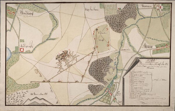
Plan Von den durch den Major von Tempelhoff im Jahr 1782 aufgeworfenen Polygone und den bey selbigen gemachten Attaque
ArcGIS, QGIS or web apps can simply
use this map with web map services.
WMTS, TileJSON or XYZ tiles
are provided for quick access to processed maps.
Sign in to get links.