Sign in to access WMTS endpoints.
Sign in to download GeoTIFF.
Sign in to export as IIIF.
Compare
Original viewer
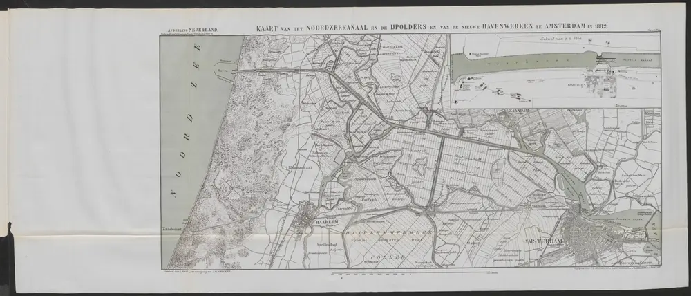
Kaart van het Noordzeekanaal en de IJpolders en van de nieuwe havenwerken te Amsterdam in 1882
COLLBN_054-27-041_2
Maps in the Crowd Caribbean Collection
1882
L. Koot
Amsterdam : C.L. Brinkman; Utrecht : J.L. Beijers