ArcGIS, QGIS or web apps can simply use this map with web map services. WMTS, TileJSON or XYZ tiles are provided for quick access to processed maps.
Sign in to get links.
Sign in to download GeoTIFF.
Overlay & compare
iiif viewer, iiif info json
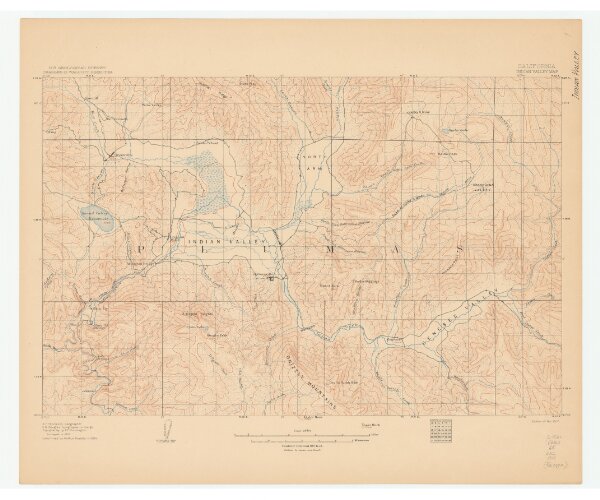
California, Indian Valley map.
21198_zz002b1qfj
California
Relief shown by contours and spot heights. "Topography by A.F. Dunnington. Surveyed in 1891. Land lines by Arthur Keddie in 1904.
1907
Washington, D.C. : U.S. Dept. of the Interior, Geological Survey
31 × 47 cm
1 : 65500