ArcGIS, QGIS or web apps can simply use this map with web map services. WMTS, TileJSON or XYZ tiles are provided for quick access to processed maps.
Sign in to get links.
Sign in to download GeoTIFF.
Overlay & compare
iiif viewer, iiif info json
Website
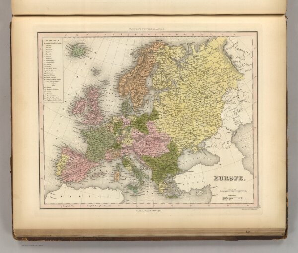
Europe.
5363.044
pilot4
Europe. Engrav'd by E.B. Dawson. Philadelphia: Published by Carey & Hart. (above neat line) Tanner's Universal Atlas.
1845
Tanner, Henry S.
Carey and Hart
37 × 30 cm
1 : 15500000