ArcGIS, QGIS or web apps can simply use this map with web map services. WMTS, TileJSON or XYZ tiles are provided for quick access to processed maps.
Sign in to get links.
Sign in to download GeoTIFF.
Overlay & compare
iiif viewer, iiif info json
Website
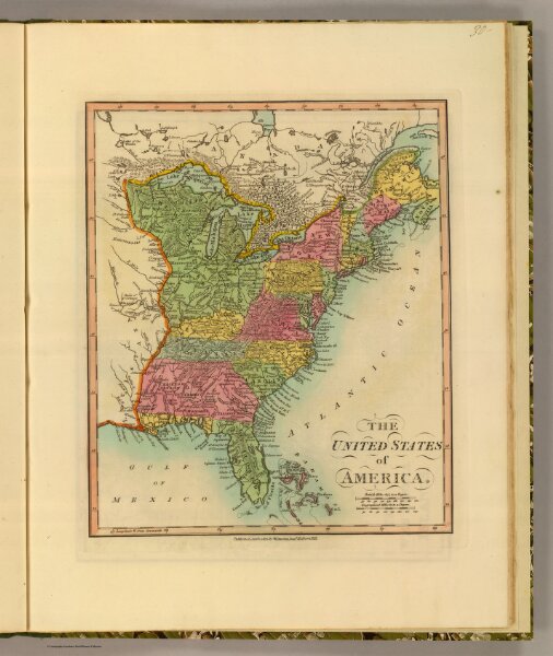
United States.
4767.030
pilot4
The United States of America. Published Jany. 1, 1812, by W. Darton Junr., Holborn Hill.
1812
1813
Darton, William
William Darton
24 × 29 cm
1 : 11800000