ArcGIS, QGIS or web apps can simply use this map with web map services. WMTS, TileJSON or XYZ tiles are provided for quick access to processed maps.
Sign in to get links.
Sign in to download GeoTIFF.
Overlay & compare
iiif viewer, iiif info json
Website
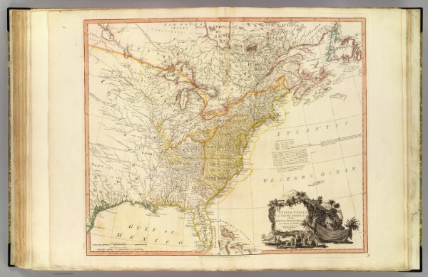
United States of North America.
2104.054
pilot4
The United States of North America: with the British territories and those of Spain, according to the Treaty of 1784. engrav'd by Wm. Faden. 1796. Published as the Act directs, Feby. 11, 1796, by Willm. Faden, Geographer to the King, Charing Cross.
1796
1811
Faden, William, 1750?-1836
William Faden
64 × 54 cm
1 : 6350000