ArcGIS, QGIS or web apps can simply use this map with web map services. WMTS, TileJSON or XYZ tiles are provided for quick access to processed maps.
Sign in to get links.
Sign in to download GeoTIFF.
Overlay & compare
iiif viewer, iiif info json
Website
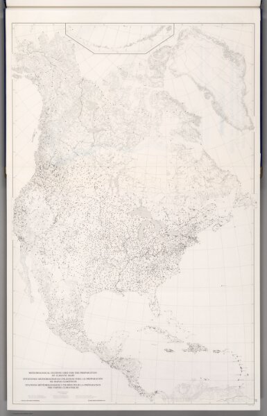
Meteorological Stations Used for the Preparation of Climatic Maps.
6386.033
pilot2
1979
World Meteorological Organization (WMO)
WMO, Unesco, Cartographia
57 × 90 cm
1 : 10000000