ArcGIS, QGIS or web apps can simply use this map with web map services. WMTS, TileJSON or XYZ tiles are provided for quick access to processed maps.
Sign in to get links.
Sign in to download GeoTIFF.
Overlay & compare
iiif viewer, iiif info json
Website
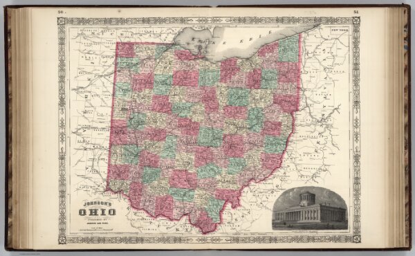
Ohio.
0535.033
pilot2
Johnson's Ohio, Published By Johnson and Ward.
1864
1865
Johnson, A.J.
Johnson and Ward
62 × 44 cm
1 : 1006000