ArcGIS, QGIS or web apps can simply use this map with web map services. WMTS, TileJSON or XYZ tiles are provided for quick access to processed maps.
Sign in to get links.
Sign in to download GeoTIFF.
Overlay & compare
iiif viewer, iiif info json
Website
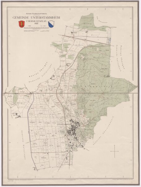
Unterstammheim: Gemeinde; Übersichtsplan (Schweizerische Grundbuchvermessung)
PLAN_B_778
Maps
Mit Gemeindewappen von Unterstammheim und Zürcher Kantonswappen.
From 1937-01-01 to 1937-12-31
Aufnahme: Hoerni, Walter, Grundbuchgeometer, in Unterstammheim Fotomechanische Reproduktion und Druck: Art. Institut Orell Füssli AG, in Zürich
79 × 104 cm
1 : 5000
300