ArcGIS, QGIS or web apps can simply use this map with web map services. WMTS, TileJSON or XYZ tiles are provided for quick access to processed maps.
Sign in to get links.
Sign in to download GeoTIFF.
Overlay & compare
Website
Original viewer
Catalog
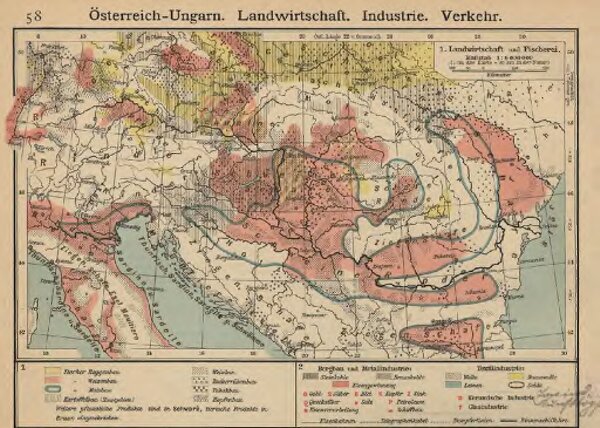
Österreich-Ungarn. Landwirtschaft und Fischerei
gbvppn_743631862_57_0
GeoPortOst II
Österreich-Ungarn Landwirtschaft, Fischerei
1912
1 : 9000000