ArcGIS, QGIS or web apps can simply use this map with web map services. WMTS, TileJSON or XYZ tiles are provided for quick access to processed maps.
Sign in to get links.
Sign in to download GeoTIFF.
Overlay & compare
iiif viewer, iiif info json
Website
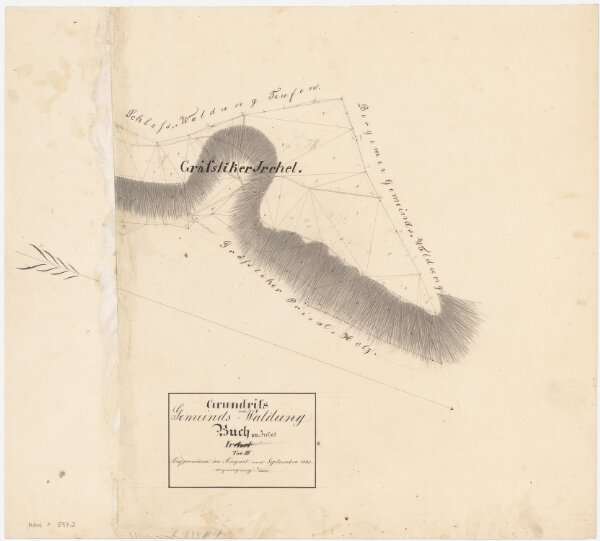
Buch am Irchel: Gemeindewaldung: Gräsliker Irchel; Grundriss (Tab. III)
PLAN_P_597_3
Maps
From 1845-08-01 to 1845-09-30
Aufnahme und Zeichnung vermutlich: Meister, Hans Ulrich (1801-1874), Forstmeister des 3. Kreises des Kantons Zürich, von Benken
56 × 50 cm
1 : 2400
300