ArcGIS, QGIS or web apps can simply use this map with web map services. WMTS, TileJSON or XYZ tiles are provided for quick access to processed maps.
Sign in to get links.
Sign in to download GeoTIFF.
Overlay & compare
iiif viewer, iiif info json
Website
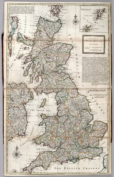
Great Britain.
9729.018
default
A New Map of Great Britain.
1732
Moll, Herman, d. 1732
John and Tho. Bowles
62 × 102 cm
1 : 985000