ArcGIS, QGIS or web apps can simply use this map with web map services. WMTS, TileJSON or XYZ tiles are provided for quick access to processed maps.
Sign in to get links.
Sign in to download GeoTIFF.
Overlay & compare
iiif viewer, iiif info json
Website
11143601265
flickr2
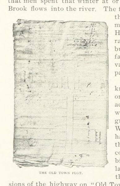
Book: The Town and City of Waterbury, Connecticut, from the aboriginal period to the year eighteen hundred and ninety-five
1896
ANDERSON, Joseph Rev., of Waterbury, Connecticut
Price & Lee Co.
73.7 × 114.2 cm