ArcGIS, QGIS or web apps can simply use this map with web map services. WMTS, TileJSON or XYZ tiles are provided for quick access to processed maps.
Sign in to get links.
Sign in to download GeoTIFF.
Overlay & compare
iiif viewer, iiif info json
Website
Original viewer
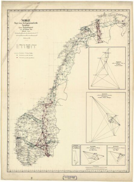
Norge 180: Kart over det trigonometriske Hovednet i Norge.
norgesavd_180_1877
2024
1877
1 : 2000000
600