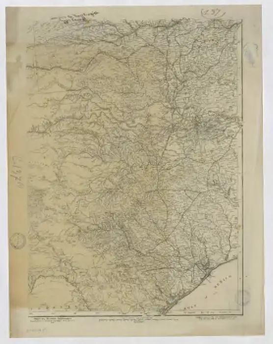
Cataloged map
Western territories. sheet no. 2

Institution:Bordeaux Montaigne University
Full title:Western territories. sheet no. 2
Depicted:1876
Pubdate:1876
Publisher:[Washington, D.C.] : Office of the Chief of Engineers, U.S. Army
Map scale:1:2 000 000

Indian Territory : [Oklahoma] / surveyed under the dir. of Charles H. Fitch
1902
Fitch, Charles H.
1:500k
Western territories. sheet no. 2
1876
Gillespie, George Lewis 18..-....; États-Unis. Corps of Engineers
1:2m
A New Mapp of Carolina
1698
Thornton, John, fl. 1652-1701.;Fisher, William, fl. 1669-1691.
1:1m

[Die Vereinigten Staaten von Nord-Amerika, Blatt 5]
1876
Stieler, Adolf

Map of Kansas, Nebraska, and Colorado. Showing also the eastern portion of Idaho.
1860

[Die Vereinigten Staaten von Amerika in 6 Blättern, Blatt 5]
1892
Stieler, Adolf

Map of the Indian Territory, Northern Texas and New Mexico.
1842
Okmulgee
1900
1:125k
Okmulgee
1900
1:125k
Okmulgee
1896
1:125k