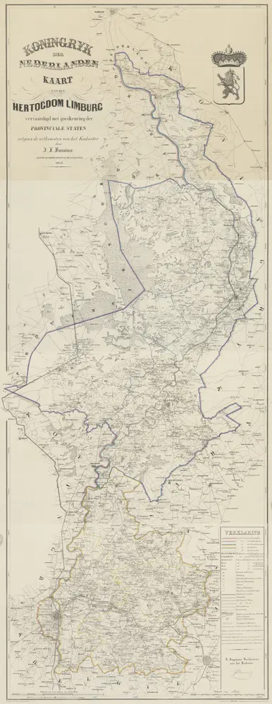
1849
vervaardigd met goedkeuring der Provinciale Staten volgens de uitkomsten van het kadaster door J.F. Bonniver ...
1:75k
1904
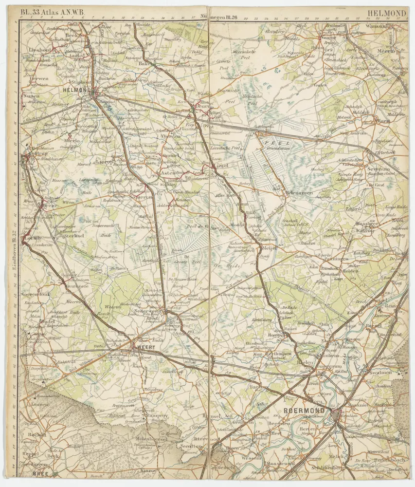
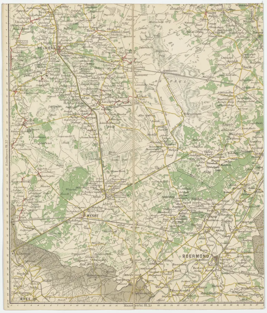
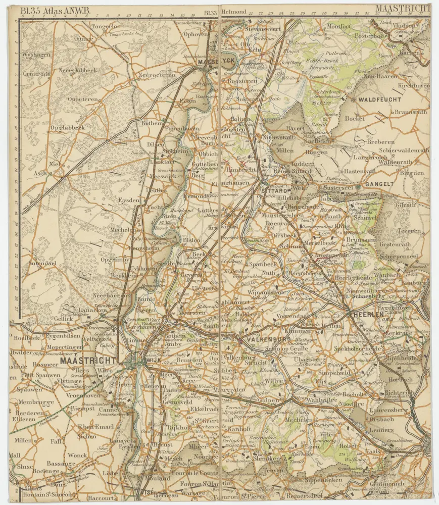
ANWB
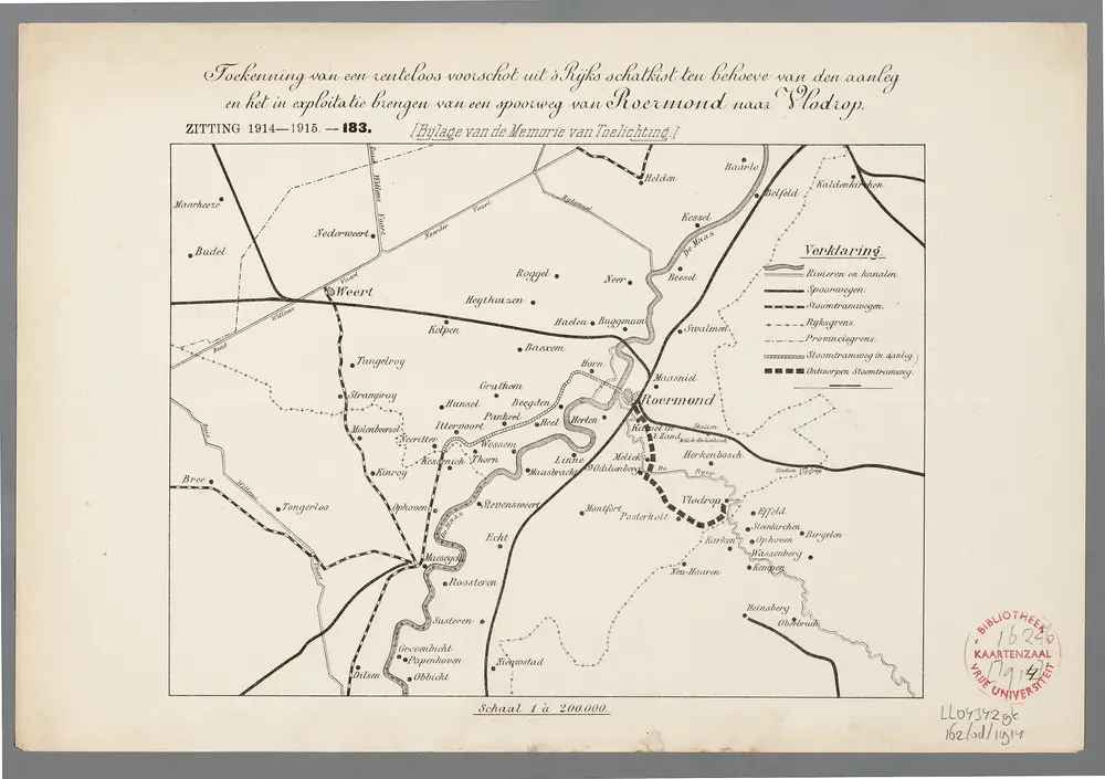
1:200k
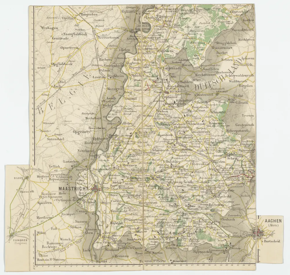
1914
[S.l. : s.n.]
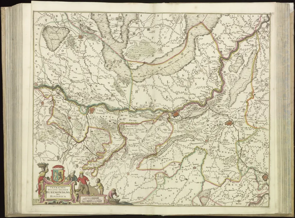
1690
Wit, Frederik de
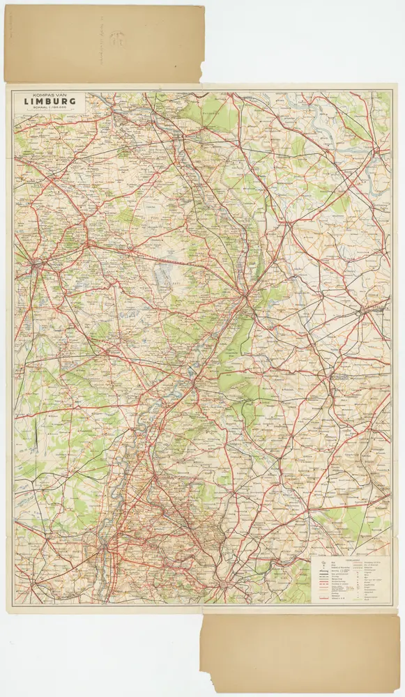
1920
J.A. Sleeswijk, Bussum; J. Smulders & Co., 's-Gravenhage
1:150k
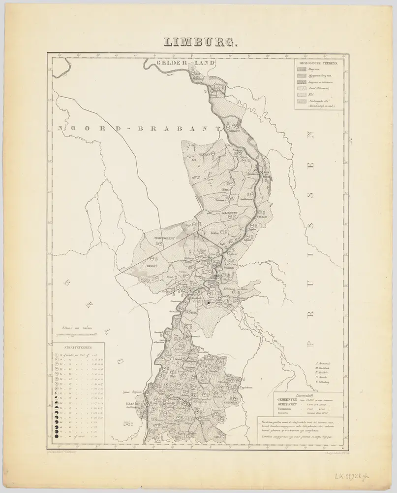
1879
Pieter Harmen Witkamp 1816-1892; Nederlandsche Maatschappij tot Bevordering der Geneeskunst