Gecatalogiseerde kaart
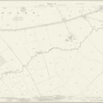
Leicestershire XX.16 (includes: Freeby; Whissendine; Wymondham) - 25 Inch Map

Instelling:National Library of Scotland
Volledige titel:Leicestershire XX.16 (includes: Freeby; Whissendine; Wymondham) - 25 Inch Map
Jaar illustratie:1928
Pubdatum:1930
Uitgever:Ordnance Survey
Schaal kaart:1:2 500