Katalogisierte Karte
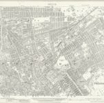
Lancashire LXI.10 (includes: Preston) - 25 Inch Map

Einrichtung:National Library of Scotland
Vollständiger Titel:Lancashire LXI.10 (includes: Preston) - 25 Inch Map
Jahr der Abbildung:1929
Veröffentlichungsdatum:1931
Herausgeber:Ordnance Survey
Maßstab der Karte:1:2 500