Cataloged map
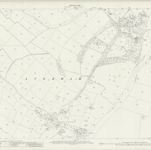
Nottinghamshire XXX.14 (includes: Averham; Kelham; Staythorpe) - 25 Inch Map

Institution:National Library of Scotland
Full title:Nottinghamshire XXX.14 (includes: Averham; Kelham; Staythorpe) - 25 Inch Map
Depicted:1915
Pubdate:1919
Publisher:Ordnance Survey
Map scale:1:2 500