Katalogisierte Karte
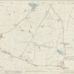
Lancashire CI.2 (includes: Ashton In Makerfield; Billinge And Winstanley) - 25 Inch Map

Einrichtung:National Library of Scotland
Vollständiger Titel:Lancashire CI.2 (includes: Ashton In Makerfield; Billinge And Winstanley) - 25 Inch Map
Jahr der Abbildung:1892
Veröffentlichungsdatum:1893
Herausgeber:Ordnance Survey
Maßstab der Karte:1:2 500