ArcGIS, QGIS or web apps can simply use this map with web map services. WMTS, TileJSON or XYZ tiles are provided for quick access to processed maps.
Sign in to get links.
Sign in to download GeoTIFF.
Overlay & compare
iiif viewer, iiif info json
Website
11218526216
flickr2
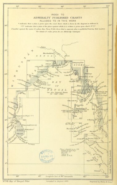
Book: [The Bay of Bengal Pilot, including South-West Coast of Ceylon, North Coast of Sumatra, Nicobar, and Andaman Islands. Compiled (by L. S. Dawson) from various authorities. (Supplement.)]
1892
Hydrographic Office
165 × 261 cm