ArcGIS, QGIS or web apps can simply use this map with web map services. WMTS, TileJSON or XYZ tiles are provided for quick access to processed maps.
Sign in to get links.
Sign in to download GeoTIFF.
Overlay & compare
iiif viewer, iiif info json
Website
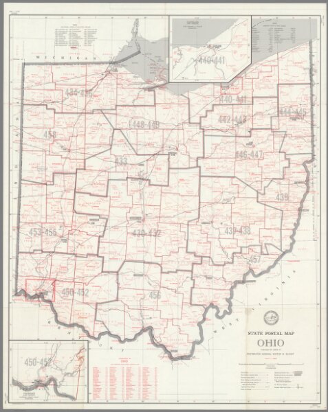
State Postal Map of the State of Ohio Showing Post Offices ... July 1, 1969.
9199.000
pilot5
State Postal Map of the State of Ohio Showing Post Offices with the Intermediate Distances on Mail Route ... July 1, 1969.
1969
United States. Post Office Department
United States Post Office Department
65 × 80 cm
1 : 619000