ArcGIS, QGIS or web apps can simply use this map with web map services. WMTS, TileJSON or XYZ tiles are provided for quick access to processed maps.
Sign in to get links.
Sign in to download GeoTIFF.
Overlay & compare
iiif viewer, iiif info json
Website
Original viewer
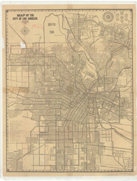
Map of the city of Los Angeles.
21198_z1tx7x2cv_1
California
Relief shown by hachures. On verso: Chadwick's automobile map of Southern California and map showing territory annexed to the City of Los Angeles, California, 1917. Includes index of Los Angeles street car lines. Distance list on verso.
1922
Chadwick, J. P.
43 × 56 cm